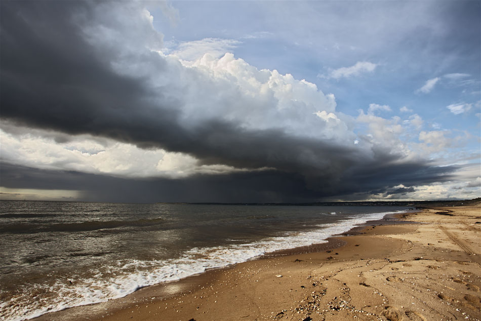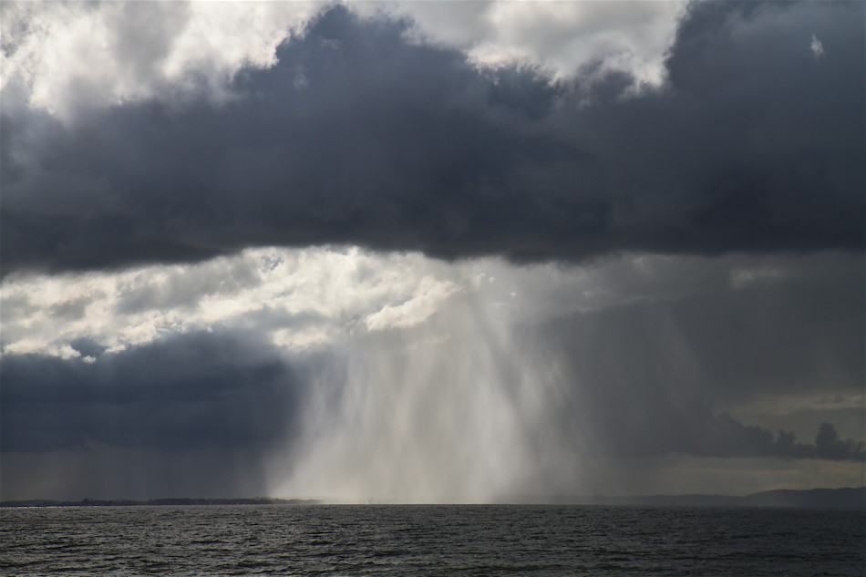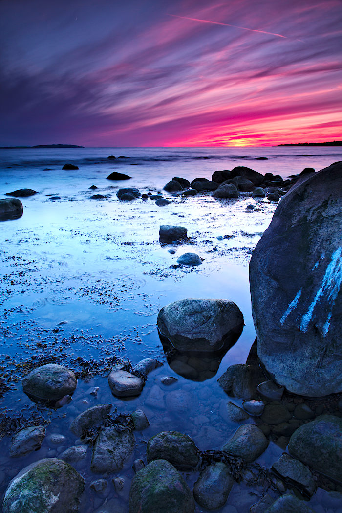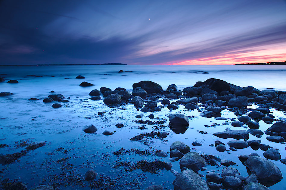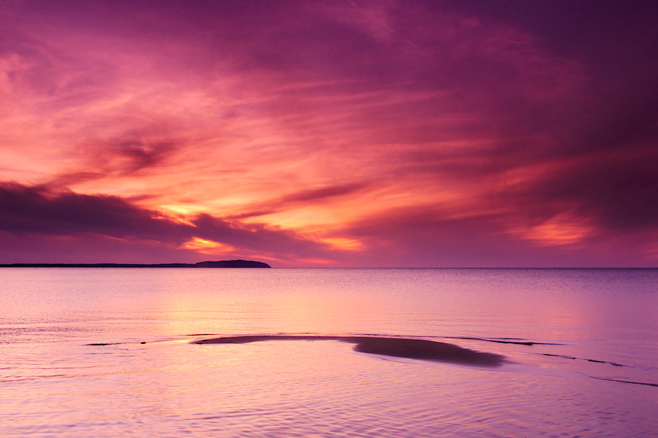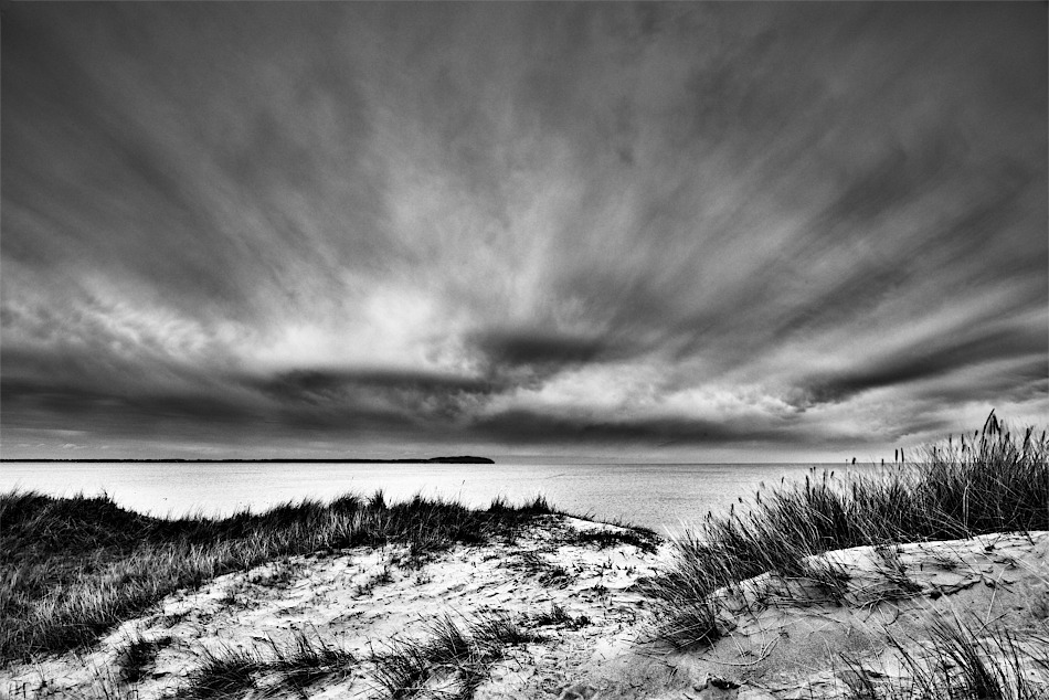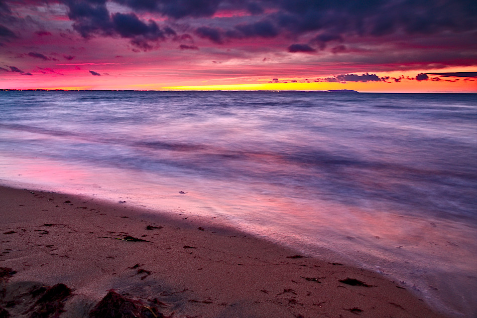
Sista ljuset från juldagen 2013 över Råbocka, Ängelholm. På fotografiet syns skånska Kullaberg på andra sidan Skälderviken. Snön är det enda som saknas för att göra fotografiet till en klassisk vinterbild.
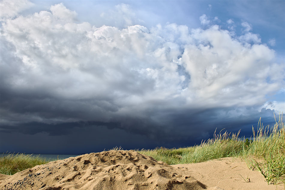
Stormen Sven som drog in över Skåne har verkligen förändrat stranden. Klitterna på andra sidan stranden ser ut som någon tagit en enda stor tugga och fört med sig ut i havet. Värnet från Skånelinjen står fortfarande kvar, men om än på lösare grund.
För att fotografera vyn har ett halvtonat gråfilter med hård övergång använts. Ett plastfilter till trots fungerade det ändå tillfredsställande så länge man inte får motljus. Hård övergång fungerar perfekt när horisonten är obruten, d.v.s. inga träd eller byggnader som sticker upp och förstör vyn.
Råkonverterare är Darktable. GIMP 2.9.1 användes för det sista finliret. Jag är stolt över att som fotograf kunna använda öppna och fria programvaror och inte hamnat i något betalträsk såsom de flesta andra fotografer. Ja, de som betalar och inte piratar sin programvara så att säga. Operativsystemet är Ubuntu, så där har jag heller inte behövt betala ett öre. För fyra år sedan hade jag aldrig trott att jag skulle sitta på ett linuxbaserat system och fixat till mina fotografier.
